

AI Can Now Tell Trees Apart From the Air Almost as Well as Humans Can
Finnish researchers have taught computers to identify individual tree species from helicopter-mounted laser scanners with striking accuracy — a breakthrough that could reshape how forests are surveyed, managed, and protected.
Text by Martti Asikainen, 14.8.2026 | Photo by Adobe Stock Photos
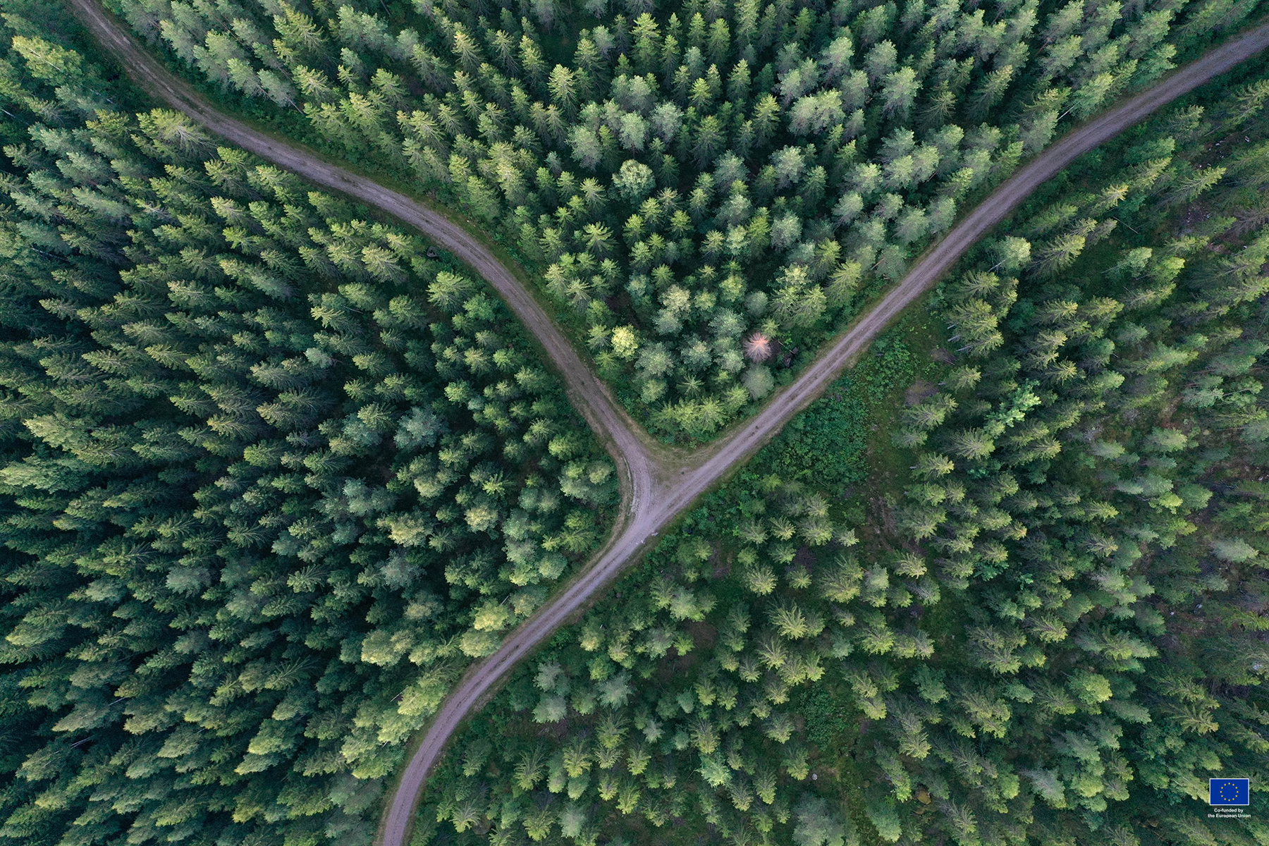
Scientists at the Finnish Geospatial Research Institute (FGI) have combined a laser-scanning technique with deep learning to identify tree species from the air with up to 92% accuracy under ideal conditions. The advance, published in the ISPRS Journal of Photogrammetry and Remote Sensing, could streamline forest surveys by cutting out a step that used to require two separate data-collection methods.
For the past 15 years or so, mapping what’s actually growing in a forest has relied on a combination of laser scanning, aerial photography, and old-fashioned fieldwork. Laser scanning was good at capturing a forest’s physical structure, but on its own it couldn’t tell a birch from a pine. That job fell to aerial imaging, which captures visible light and near-infrared wavelengths — details laser scanning historically missed.
The new method changes that equation. By using multispectral laser scanning — which reads multiple wavelengths, much like a camera does — researchers can now get structural and species data from a single pass. According to Markus Holopainen, professor of geoinformatics at the University of Helsinki, laser scanning alone can now identify species almost as accurately as traditional aerial photography.
Teaching a Computer to Recognize a Tree
The real leap came from pairing this laser data with deep learning. Researchers trained models to recognize patterns in tree shape, canopy geometry, and how different wavelengths bounce off foliage — cues that go well beyond what a simple classifier could pick up on.
To build and test the system, the team flew FGI’s own helicopter-based scanner, called HeliALS, over a test forest in Espoonlahti, southern Finland, and supplemented it with data from a commercial scanning system. They then built a reference library of more than 6,000 individually identified trees spanning nine species to train and evaluate their models.
Among the approaches tested, a type of model called a “point transformer” — which works directly with the 3D point-cloud data laser scanners produce — outperformed both conventional machine learning and image-based deep learning methods.
Pines? Easy. Rare Broadleaves? Trickier.
Using the densest scan data available, the system correctly identified nine species — including pine, birch, spruce, aspen, rowan, alder, oak, lime, and maple — 92% of the time on average. Even with lower-quality data, accuracy held up reasonably well, staying as high as 90% across a broader range of conditions.
Unsurprisingly, the system was best at recognizing Finland’s most common trees — Scots pine, Norway spruce, and silver and downy birch — with very high accuracy. Rarer broadleaf species proved harder to pin down, though the AI still outperformed older, non-deep-learning approaches even on those trickier cases.
Performance also depends on where you are. “Forests in Finland and the other Nordic countries have a relatively narrow range of species, but as you move to Central Europe or other regions with a wide range of species, identification soon becomes more difficult,” Holopainen said.
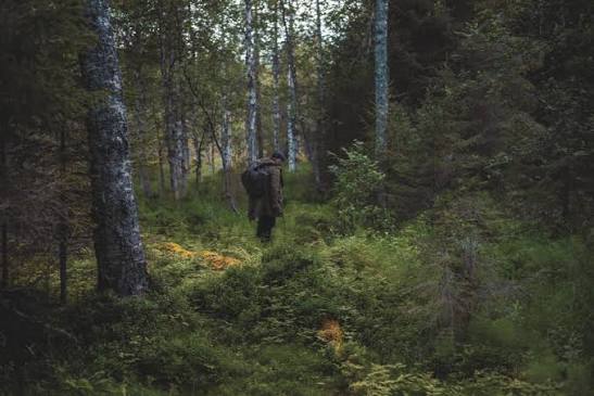
Thick, multi-layered forests with overlapping canopies are also harder to read; the technology performs best in mature, thinned commercial forests — tidy, well-spaced stands rather than dense wilderness.
Boots Still Needed on the Ground
Knowing exactly which species are growing where isn’t just an academic exercise. It feeds directly into how forests are managed on a day-to-day basis. Timber companies can plan harvesting and trading more precisely when they know the exact species breakdown of a stand, rather than relying on estimates.
The data also matters for conservation, making it easier to track ecologically important species like aspen and monitor how the mix of species in a forest shifts over time. And because the technology can help spot dead or damaged trees — including early signs of bark beetle infestations — it allows ground crews or drones to be sent to exactly the right spots, rather than searching an entire forest blind.
Despite the leap forward, Holopainen is careful to note this isn’t a full replacement for fieldwork. Species identification is just one of roughly 100 different measurements the Finnish Forest Centre tracks in its national forest inventories — and most of the rest still require someone to physically be in the forest.
There’s also a bottleneck behind the scenes: deep learning models are only as good as the labeled data they’re trained on, and building that training data still depends on people visually classifying trees by hand — a slow, painstaking process that technology hasn’t yet found a way to speed up.